
Swath
Swath turns satellite images into a simple map of where a crop is doing well and where it is falling behind. The site had to make that idea visible in a few seconds, to farmers who have no time for jargon.
- Project
- Swath
- Industry
- Agritech, satellite crop monitoring
- Scope
- Web design · Build · Motion
- Built with
- HTML, CSS, WebGL, Canvas
- Year
- 2026
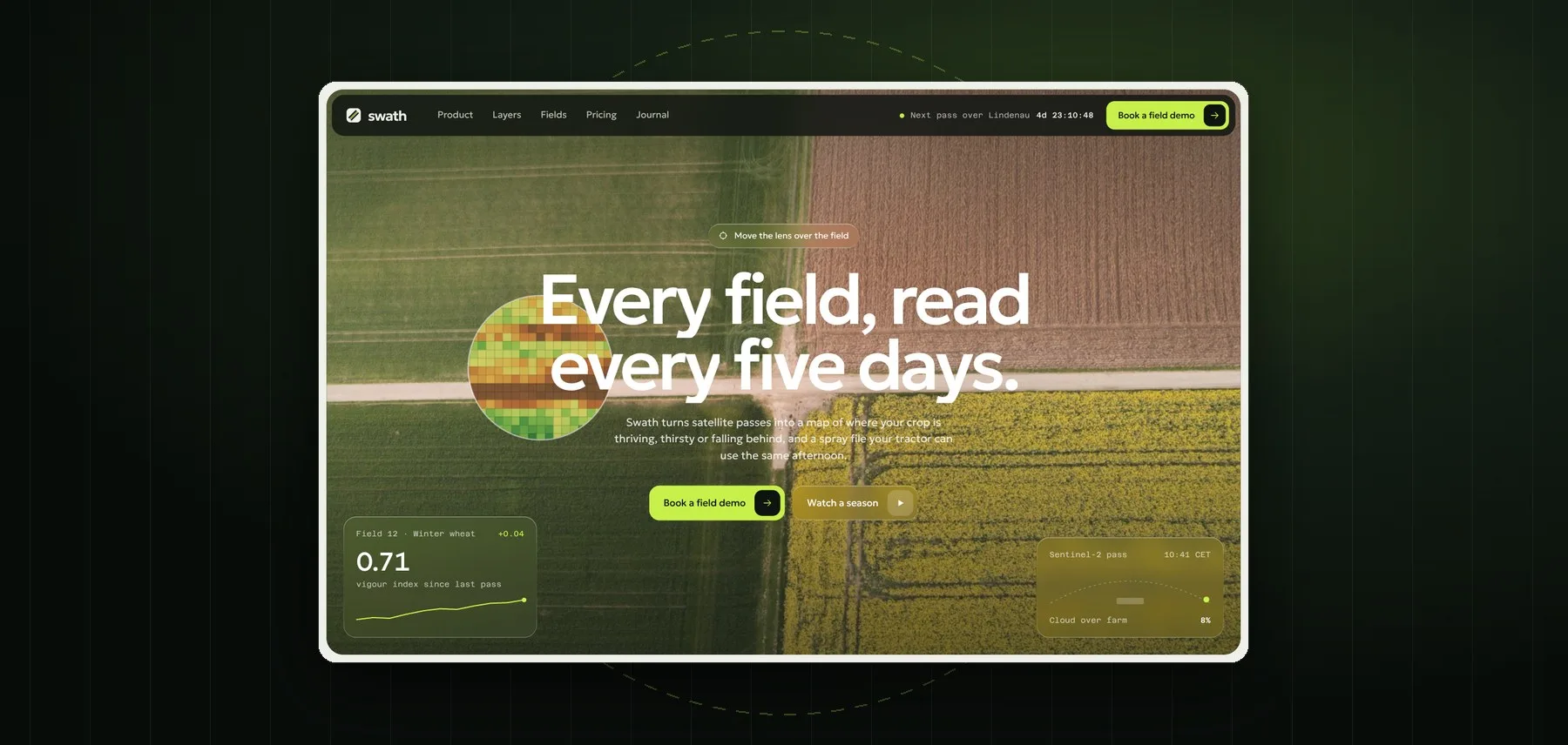
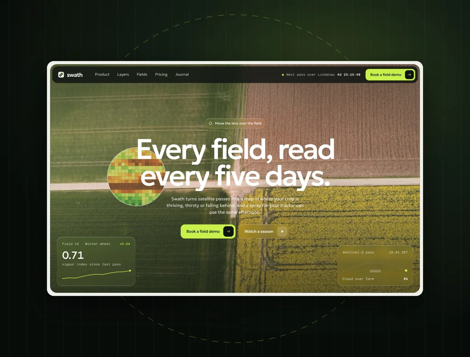
A wheat field you can read from orbit
Swath sells to farms and grain co-ops in Europe. Most of them have seen dashboards full of charts and did not trust them. The page needed to show, not explain: what a satellite sees, how one season looks, and what lands in the tractor cab at the end of the day.
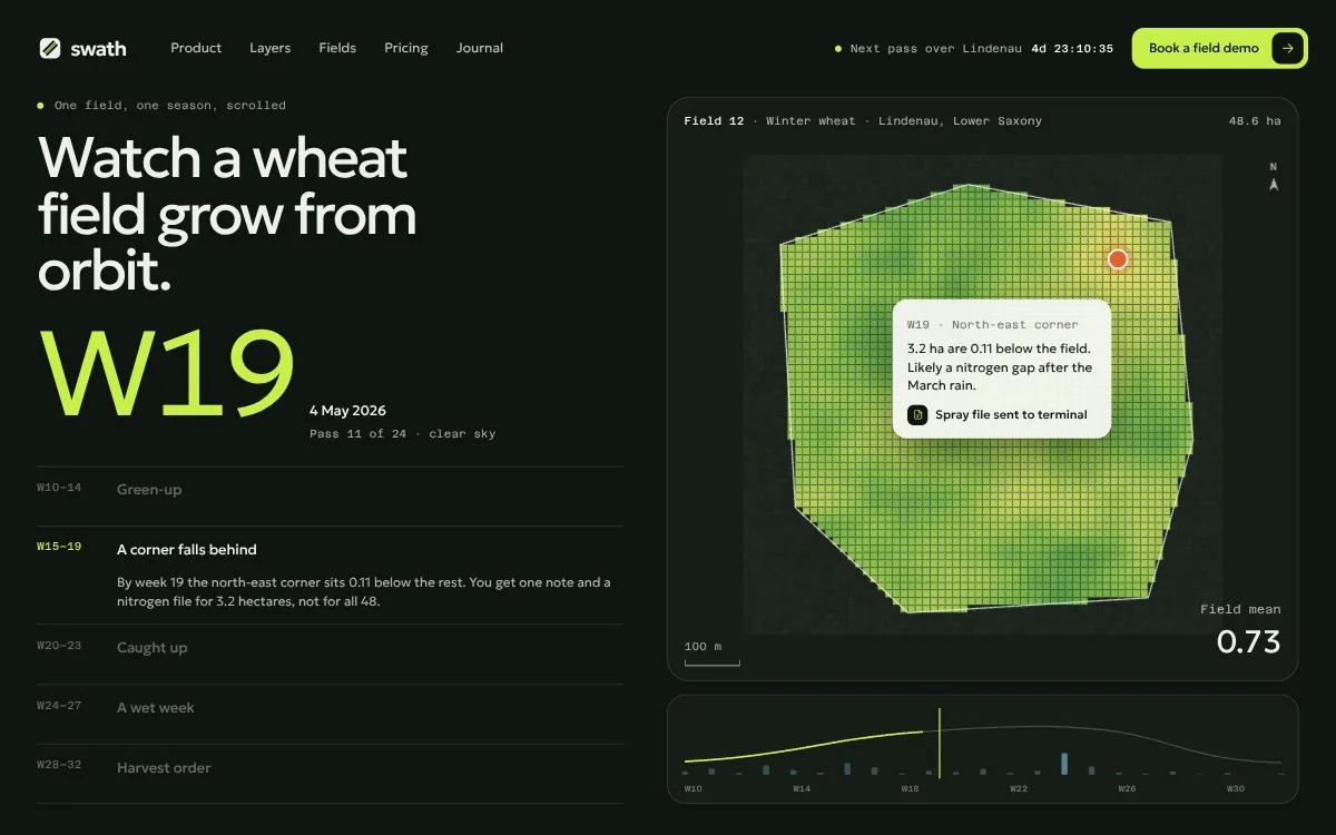
The whole site is built around one idea, the 10 metre pixel. In the hero a lens follows the cursor and shows the field as a vigour map, and scrolling sweeps the same map over the whole photo. A pinned section plays one wheat season week by week, with the problems appearing where they happened. Five map layers stack in 3D and lift out on hover, field photos break into index pixels, and a calculator gives the price for your hectares. All photos are one series of top-down aerials so the page reads as one piece.
The live site
Scroll the site right inside the frame, or open it full screen.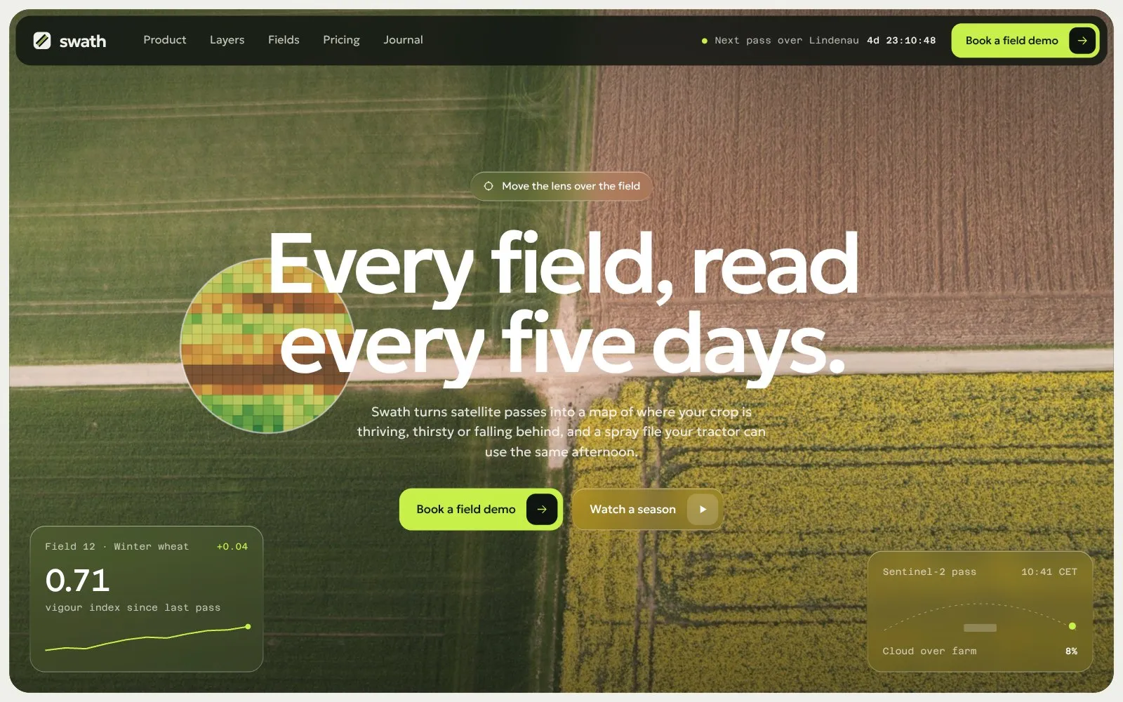
The first screen
Homepage · Desktop 1440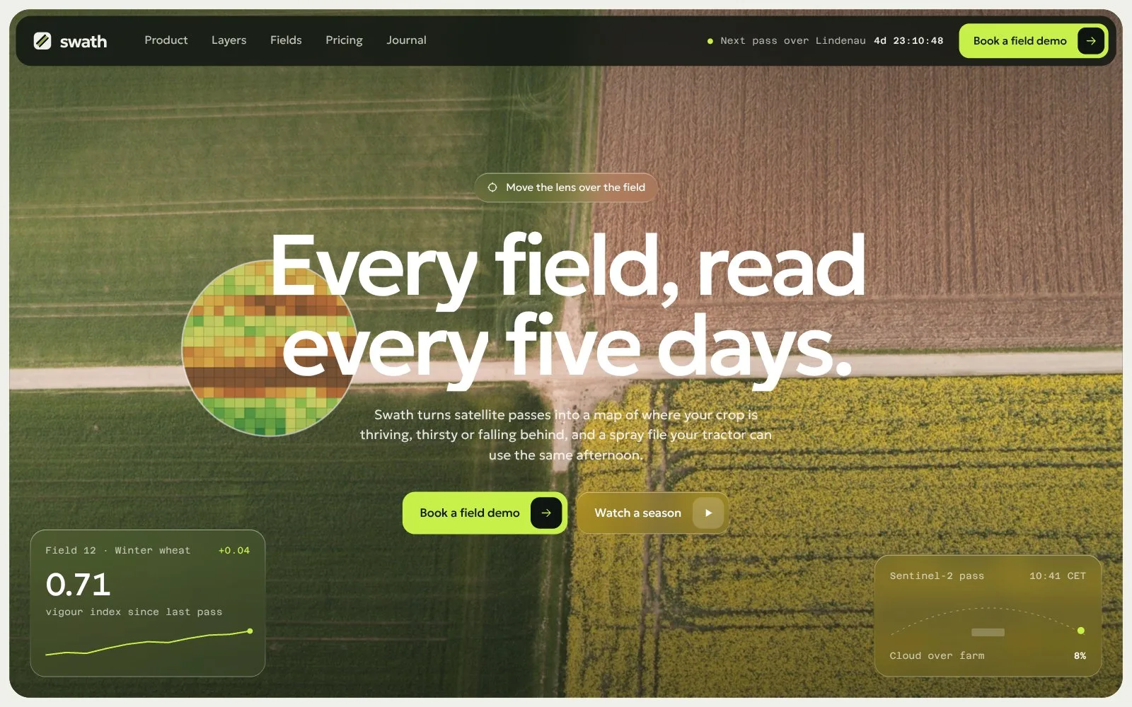
The full page
One long scroll, split into three columns — top to bottom, left to right.
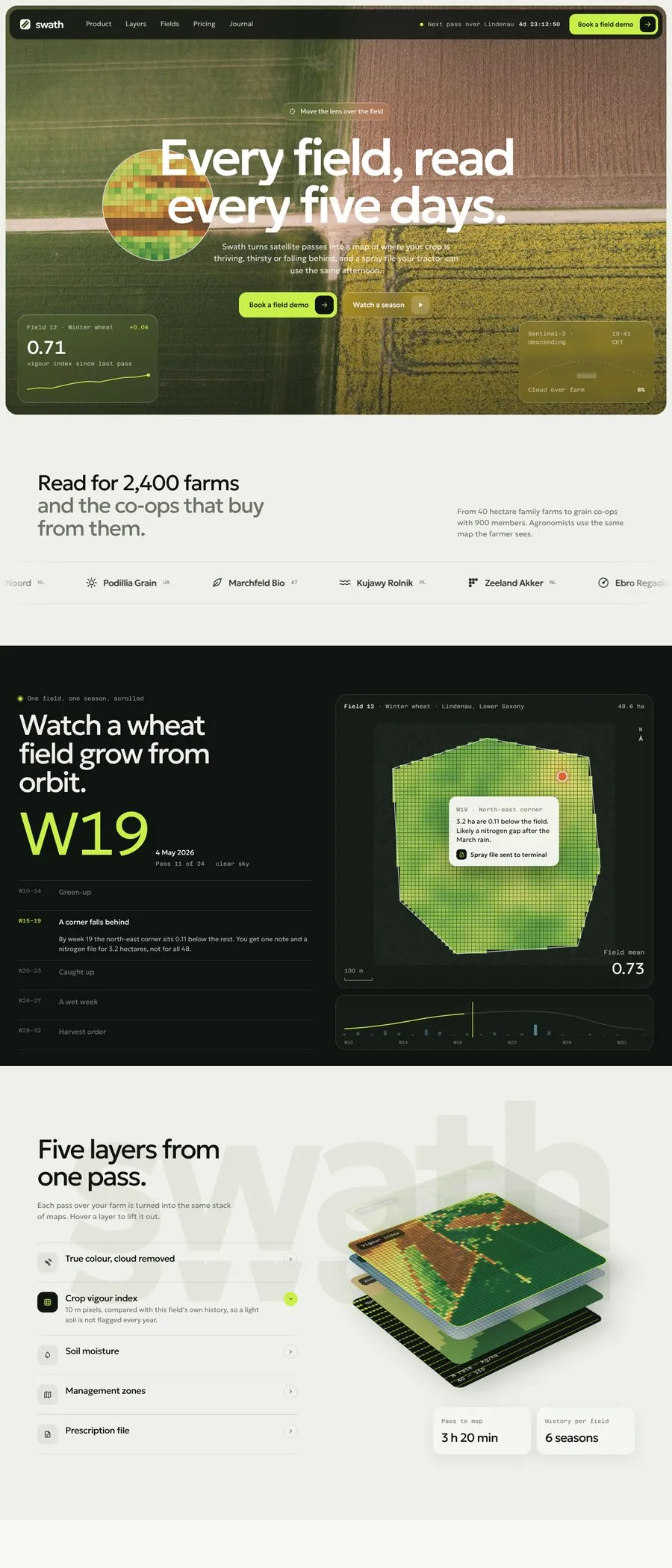
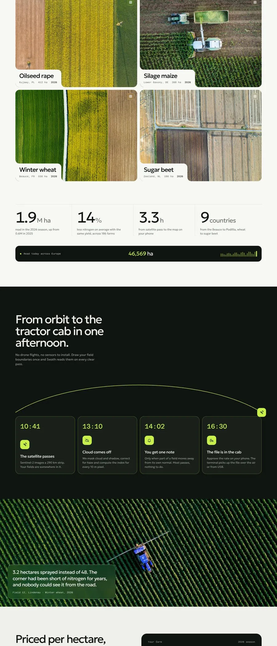
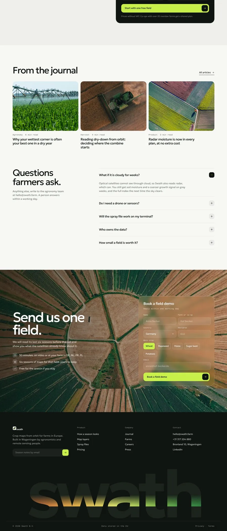
Details
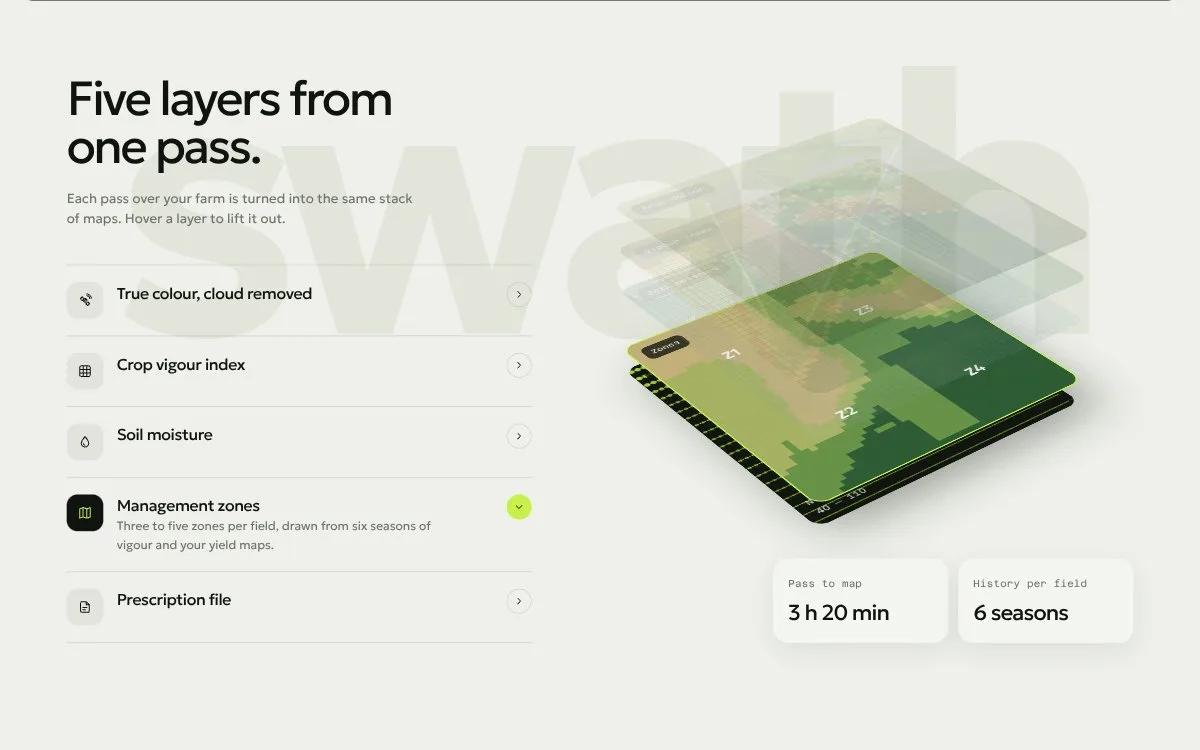
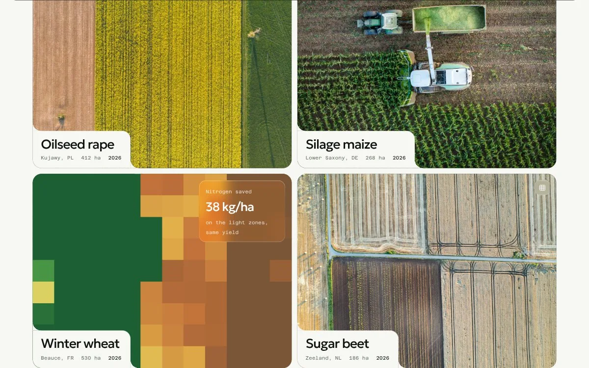
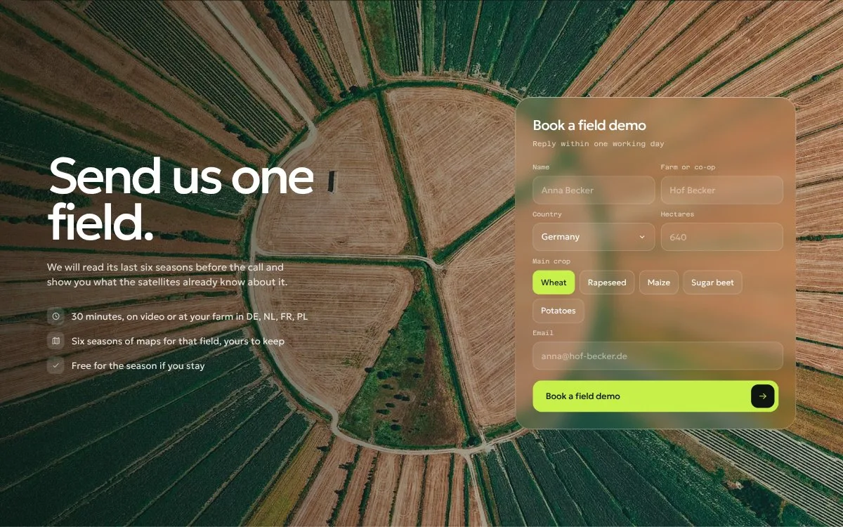
Colour & type
Palette — from the project file
- Field ink#0F1410
- Chalk#EEF0E9
- Index lime#C8F04B
- Canopy#3F8F45
- Bare soil#C0703A
Typefaces
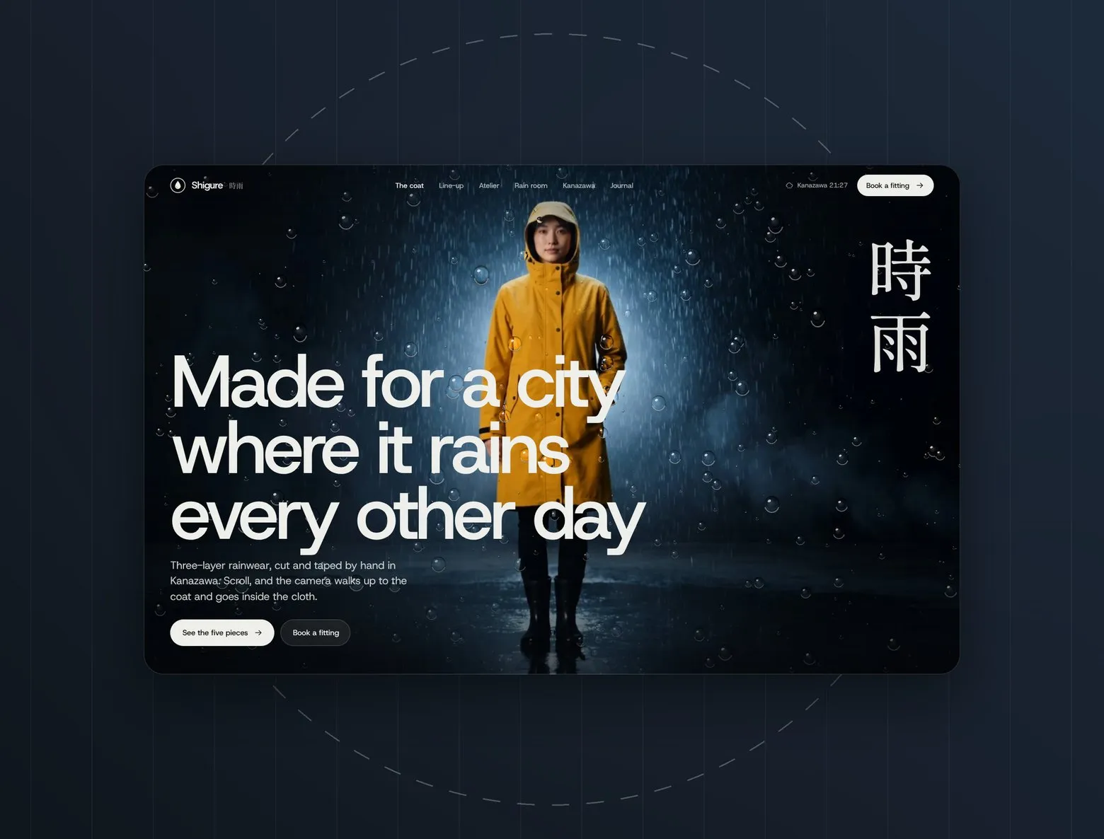
Shigure


Let’s launch.
Send a short brief or a link to your current site. You’ll get a clear plan, timeline and quote — no sales call required.
- Reply within one business day
- Design, build and launch by one team
- One week of post-launch support included
Brief sent.
Thanks — we’ll read it and come back with a plan, a timeline and a quote.