Ramp warnings an hour before the turbines feel them.
Wind ramps at hub height and cloud edges over the panels, timed to the quarter hour and sent to the control room and the trading desk at once.
 Where it works
Wind ramps at hub height and cloud edges over the panels, timed to the quarter hour and sent to the control room and the trading desk at once.
Visibility and crosswind for each runway end, plus a 20 km lightning ring that tells ground crew when to leave the apron and when it is safe to go back.
Gusts at boom height for every crane on the quay, so lifting stops ten minutes before the limit instead of after the first alarm.
Storm tracks over the site with a 90-minute lead, tied to your evacuation plan and sent straight to the stage manager's phone.
Pin a site and we run the model on it for 30 days next to whatever you use now. Then we compare the misses together, line by line.
Pin a siteNot a forecast for the region,
a forecast for the ground you run.
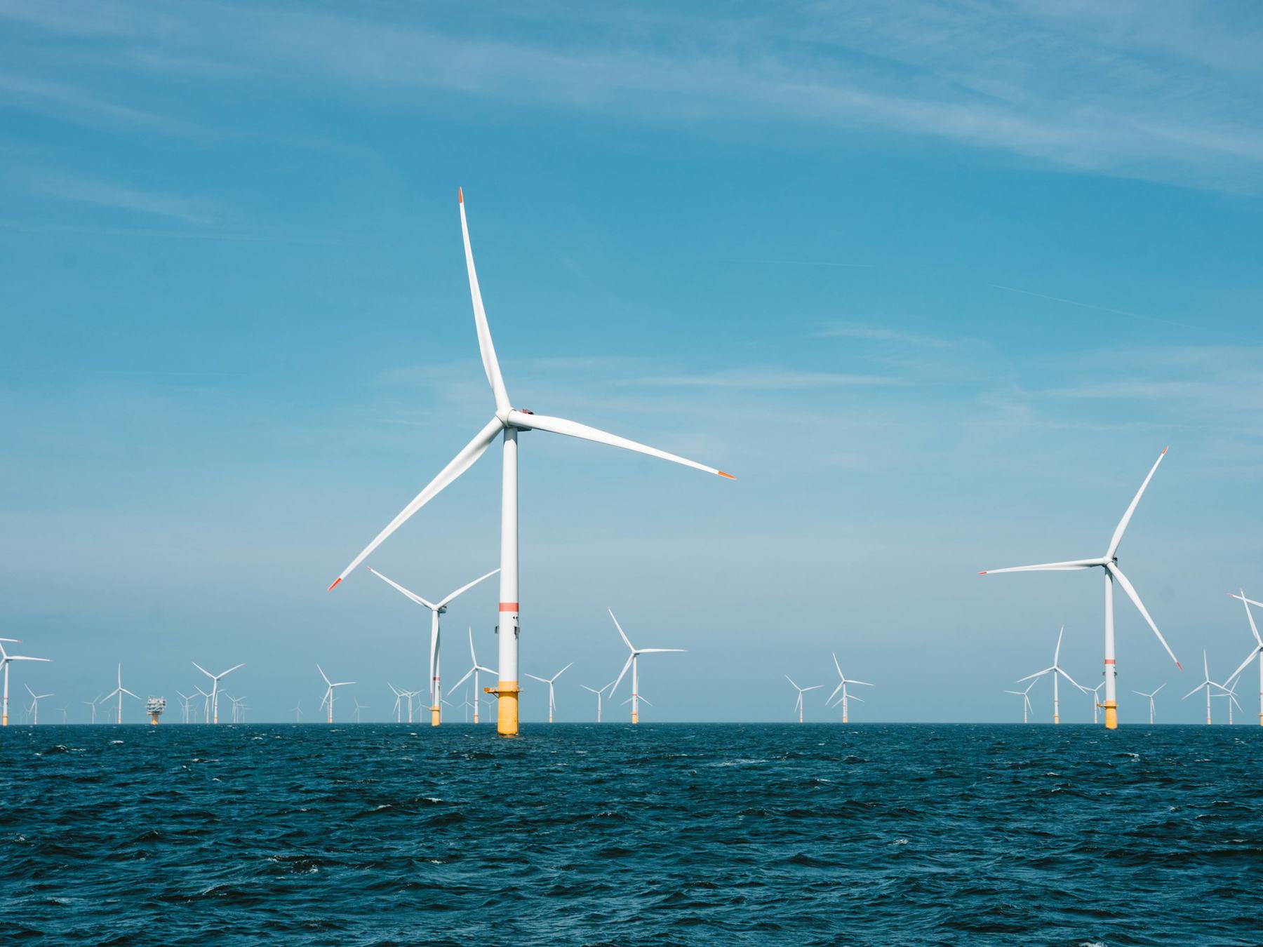
We run a 250-metre weather model over your wind farm, airfield, port or festival field, refresh it every quarter hour, and tell your crew what is about to change before it does.
A regional model sees your site as part of one 9-kilometre square. We cut that square into 1,296 and forecast each one.
Draw the outline of your site and tell us what matters: hub height, runway headings, crane limits, the stage roof.
Elevation, land cover, coastline and nearby buildings go into a grid made for your site alone.
Fresh satellite, radar and station data, 72 hours ahead, day and night.
A plain message with a time and a number, sent to the people who act on it.


Grid spacing over every site. Regional models use 9 km.
Between model runs, around the clock.
Fewer missed wind ramps than the regional forecast in 2025.
Sites live today in 14 countries.
Most forecasts are regional runs cut down to your postcode. We run our own model on a 250 m grid built around your site, with your terrain and your thresholds, and refresh it every 15 minutes.
An outline of the site and the limits that matter to you. If you have your own weather mast, we use its data too. Most sites are live in two working days.
SMS, email, Slack, Teams, or straight into your ops system through the API. Each alert names the time, the value and the limit it crosses.
From €690 per site per month, with one alert list. Portfolios of wind farms or port groups get one price for all sites.
Yes. Every forecast is stored with its run time. During the trial you get a weekly sheet that compares our numbers, your current provider and what actually happened.

30 days on one site, next to the forecast you use now. No contract, no card.